
Emerging cities in regional Australia
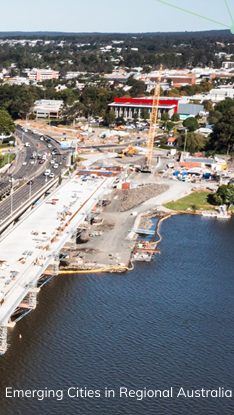
This analysis investigates emerging cities in regional Australia focusing on Significant Urban Areas ranging in size from 25,000 to 90,000 residents. Understanding future growth patterns in urban areas outside major capital and regional cities has important implications for planning and development, particularly in relation to infrastructure, housing and access to services.
Snapshot of cities and regions
This placemat provides a snapshot of cities and regions in regard to population, employment, housing and liveability.
Estimated resident population
Estimated Resident Population is the official measure of Australia’s population produced by the Australian Bureau of Statistics. These preliminary population estimates were released on 29 March 2022.
Population trends BCARR migration geography
This fact sheet provides an overview of population trends in Australia over 5 years, from 2016 to 2021. The analysis is based on Estimated Resident Population (ERP) data released by the Australian Bureau of Statistics (ABS) in July 2022. A custom geography – Bureau of Communications, Arts and Regional Research (BCARR) migration geography – is used to analyse Australia's population trends.
The BCARR migration geography classifies Australia into 6 region categories (without overlap) according to natural endowments, administration boundaries and proximity to amenities. These categories are:
- Capital cities
- Coastal cities
- Coastal country areas
- Inland cities
- Inland country areas; and
- Remote areas.
These fact sheets provide guidance for analysing regional data including geography, population, employment and industry.
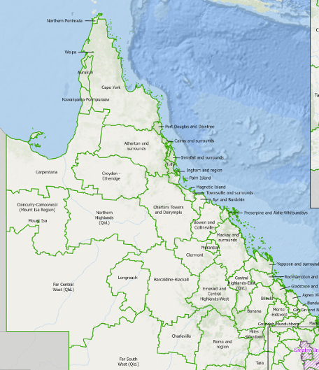
This fact sheet provides an update to the working zones geography following the 2021 Australian Statistical Geography Standard. The working zones statistical geography describes regions that reflect commuting patterns of Australian workers and can be used to analyse local labour markets. This release includes an Excel correspondence and shapefile.
South East Queensland research project
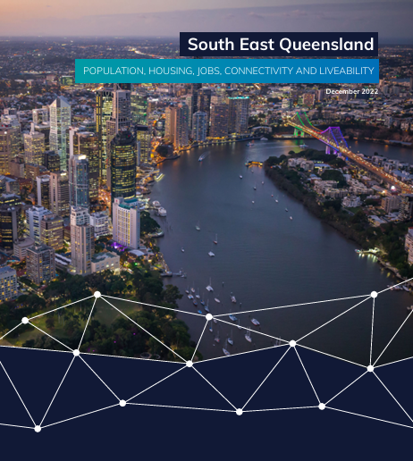
BCARR has undertaken a South East Queensland (SEQ) research project to provide an evidence base on the spatial distribution of population growth, jobs, connectivity and liveability of SEQ. This evidence can be used to monitor how population, jobs, connectivity and liveability change over time and respond to investment. The report aims to support the department's policy and project delivery. The final report is available below.
Population change and internal migration during the COVID-19 pandemic
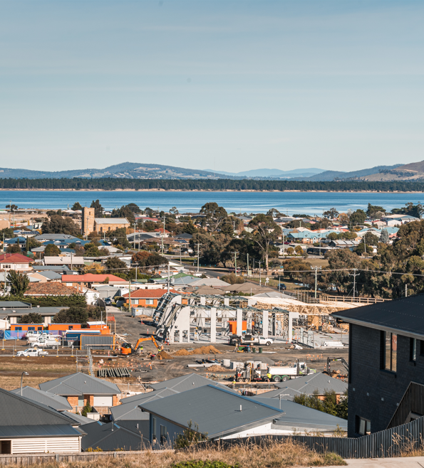
Understanding spatial patterns of population change is vital in planning for services and infrastructure and in managing the pressures created as local populations grow and decline. A large shock to the Australian economy and society, such as the COVID-19 pandemic, has the potential to create new pressure for settlement pattern change. This report investigates regional population change and internal migration flows during the peak period of the pandemic (2020-21), contrasting with a 5-year period representing the medium term, and the population change for 2021-22.
The report uses the BCARR migration geography, which separates regions by characteristics including city status and whether coastal, inland or remote.
The future of Australian cities and regions in a post-pandemic world
This research was conducted by the University of South Australia (UniSA) between March 2022 and June 2023 and was co-funded by the Department of Infrastructure, Transport, Regional Development, Communications and the Arts in partnership with the iMOVE Co-operative Research Centre.
The study addresses the following questions:
- What are the primary determinants of firm and residential location patterns across Australia?
- What are the drivers of or barriers to attracting and retaining businesses and households to regional cities, and how do they differ based on characteristics of businesses, households and regions?
- What are the possible long-term impacts of COVID-19 on firm and residential location decisions across metropolitan and regional cities?
- How are these impacts likely to influence resulting spatial patterns of employment activity and residential settlement within and across these cities?
To answer these questions UniSA undertook nationwide surveys of businesses, landlords and residents and conducted interviews and focus groups with residents across different city sizes and types, real estate and property developers, commercial landlords, state and local government officials, business owners and senior executives.
This study provides important insights for policymakers, businesses, and communities on current and possible future patterns of employment activity and residential settlement.
You can read the report Long-term pandemic impact on business and residential location to find out more.
Experimental Gross Regional Product estimates

Gross Regional Product (GRP) is an estimate of each region's unique contribution to the national economy. While Australian regional economies are interlinked, GRP can be used as an indicator of local economic activity.
BCARR has produced experimental estimates of GRP for 2015–16 and 2020–21. Estimates are produced using the ABS Statistical Areas Level 4 which broadly represents local labour markets. Information is also provided regarding GRP estimates for Northern Australia, which spans Queensland, the Northern Territory and Western Australia.
These estimates are indicative of the economic activity in a region and should be used with caution. See the fact sheet for the conceptual and data limitations which may affect the estimates. Data can be found in the Excel file below or through our Experimental GRP estimates interactive map.